GIS maps, made simple.
The accessible and user-friendly alternative to Esri for smart spenders.


Slash costs, keep the quality
Tired of steep fees eating your budget? See how Mango delivers professional mapping power that saves you money without sacrificing the quality you demand.
Affordable GIS without compromise
Mango cuts out ESRI's steep licensing fees and hidden extras, offering pro-grade mapping at a fraction of the cost—perfect for budget-conscious GIS pros.
Ditch the delivery delays
With one click, send secure, interactive maps to clients or teams. No more slow emails or static files—just instant access that saves you time and impresses stakeholders.
No need to start over
Mango integrates smoothly with your existing GIS tools and data formats, letting you dive in without wrestling new tech or disrupting your setup.
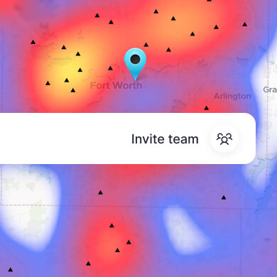
Collaborate securely
Control who sees or edits your maps with simple, no-cost team management. Add colleagues or clients instantly, keeping everyone on the same page effortlessly.
Mapping for every GIS Pro
Whether you're plotting field data, wowing clients with spatial insights, or engaging the public with interactive maps, Mango transforms your everyday GIS challenges into opportunities for success.
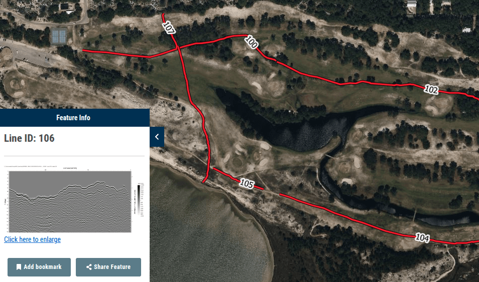
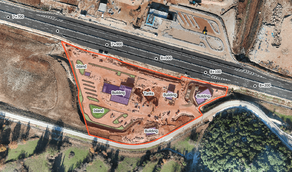
Transform field data into interactive maps quickly, sharing real-time insights with teams or clients anywhere, on any device.
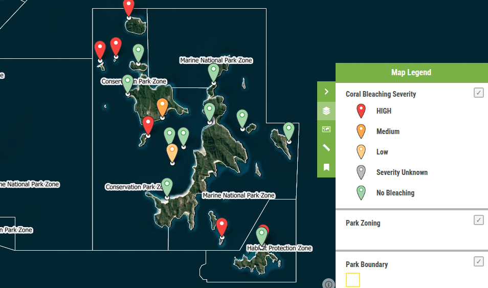
Craft user-friendly maps that communities and stakeholders can explore, boosting project visibility with zero added cost or effort.
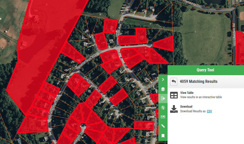
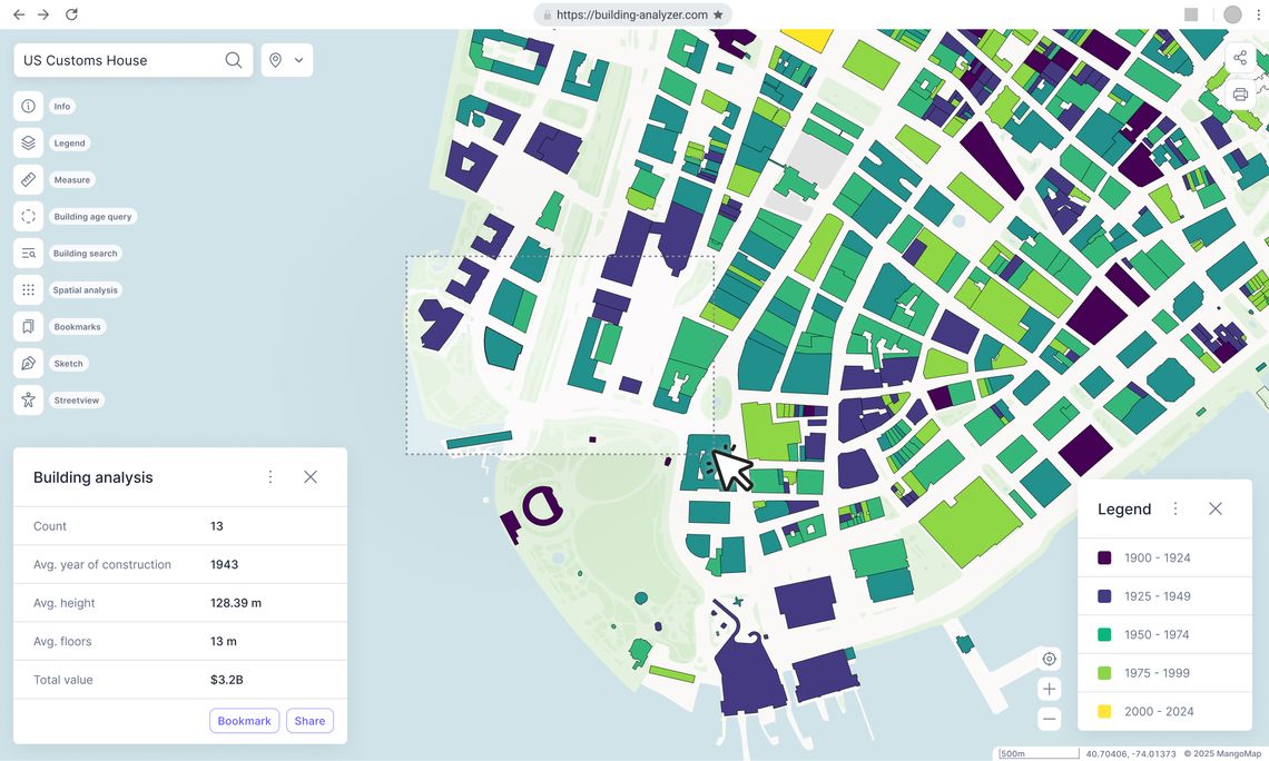
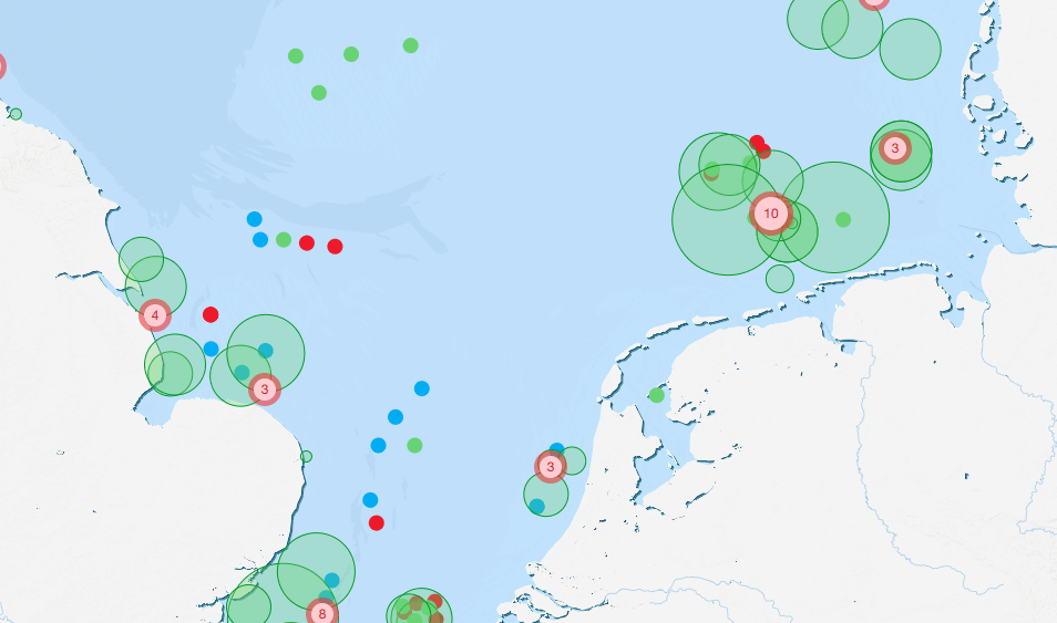
Crunch complex datasets into clear, interactive visuals fast, uncovering insights that drive smarter decisions for any project.
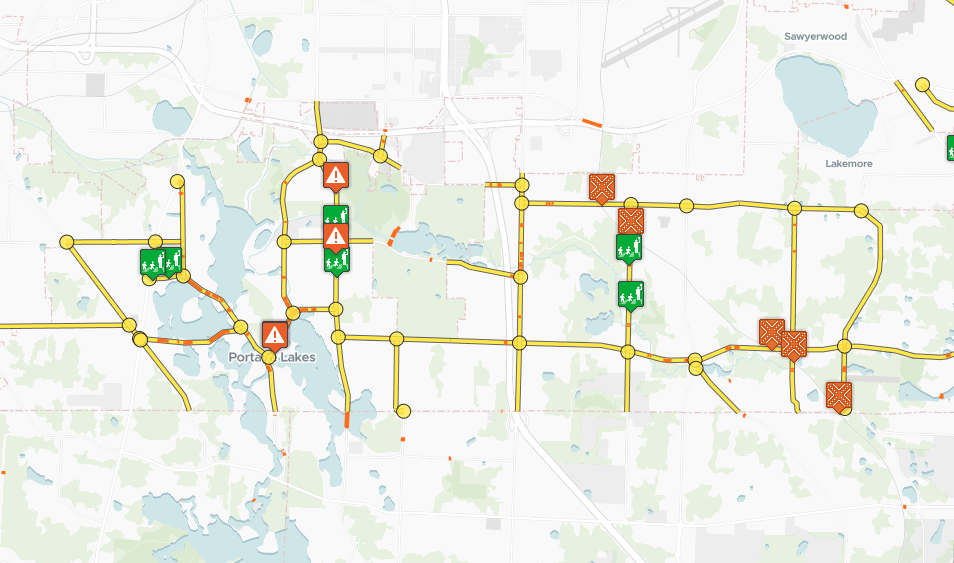
Turn raw GIS data into live, shareable reports, keeping clients and teams updated without the grind of static documents.
Present spatial models or risk maps with flair, sparking instant understanding and sealing the deal with stakeholders.
Create secure, editable map drafts in a snap, testing concepts safely before unveiling them to clients or the world.

Dr. Chris Green
Snr Epidemiologist, WRHA
Love Mango... compared to ArcGIS online, it provides better visual mapping and a straightforward pricing model.
Result: Increased stakeholder engagement by 60% thanks to dynamic map presentations, setting a new benchmark in health innovation.

Hope Kallio
GIS Specialist at Mostrom & Associates
Mango does what we need it to do, at a fraction of the cost of its competitors.
Result: Enhanced cost efficiency and accelerated project delivery by 35%, giving teams a competitive edge.

Emily Selphe
Charlevoix County, CA
A great out-of-the-box product—professional results with minimal time and money spent.
Result: Enabled rapid parcel and zoning analysis, reducing project timelines by 25% for Charlevoix County.

Phil Henry
Business Geographics & Qikmaps
I like the analogy that Mango use: sometimes it's better to use a scalpel than a swiss army knife.
Result: Drove client acquisition by 45% over a year, proving the value of targeted, affordable mapping solutions.

Jake Tanner
Lead GIS Developer/Analyst, Burgex, Inc.
Great functionality for client visualisation and easy distribution. It's a game-changer.
Result: Optimized map-sharing workflows, cutting distribution time by 50% and elevating client satisfaction.

Drop in your GIS files—surveys, shapefiles, whatever you've got. Mango handles it securely and quickly, setting you up to map in no time.
Turn raw data into interactive maps with a few clicks. No tech headaches—just intuitive tools that let your GIS skills shine.
Send a secure link to clients, teams, or the public. They get instant access, you get fewer follow-ups—everyone's happy.
Add new data as it comes in. Mango syncs updates instantly across all maps, keeping your work fresh without extra effort.
Track every project in one place. Add team members, tweak access, and stay in control—no clutter, just clarity.
Stakeholders love the accessibility and reliability. You save time, they stay impressed—building trust that grows your reputation.
Does it integrate with my GIS tools?
Yes, seamlessly. Mango works with standard GIS formats and software, so you can plug it into your workflow without a hitch.
Do I need coding skills to use it?
Not a bit. Mango's designed for GIS pros of all stripes—intuitive enough that you'll be mapping like a pro from day one.
How secure is my data on Mango?
Fortress-level. With 256-bit encryption and top-notch data centre security, your maps and info are locked down tight.
Will non-GIS users understand the maps?
Yes, easily. The light, navigable interface works on any device, making it simple for clients or the public to explore without help.
Can I control who sees my maps?
You're in charge. Set precise access levels for teams, clients, or the public with a few clicks—privacy made simple.
What's the free trial catch?
There isn't one. Try all Mango features completely free for 30 days, no credit card upfront. Cancel anytime if it's not your thing—no pressure.
How does it save me time?
By simplifying map creation, automating updates, and cutting client back-and-forth, Mango frees up hours for what matters most.

Simplify mapping and slash costs today
Mango gives you fast, affordable, and reliable mapping that wows clients and teams alike. With over 250,000 maps created and a decade of trust from GIS pros worldwide, we're here to make your work easier and more profitable. Jump in now—your next project deserves it.