Open Data Portal | orange county

Open Data Portal

Menu
  • title
    Example System Built with Mango

    This sample county map and data portal was created entirely using Mango. With your account you too can quickly and easily create a map portal for your organization without writing any code or maintaining any servers.


    Please take your time to look through the maps as each one showcases specific Mango features and functionality.


    Enjoy!

  • Learn more
    no-content
title

Welcome!

This website represents Orange County's commitment to transparency. Here, you'll find a wide array of information to help you explore the work of the county and its impact on residents.

You can conduct research, download data, create visualizations and much more. Keep coming back as we add to the data trove.

Maps
Data
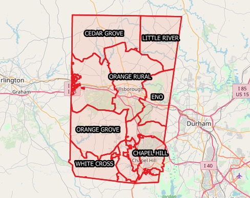
Fire-Districts

Fire Districts

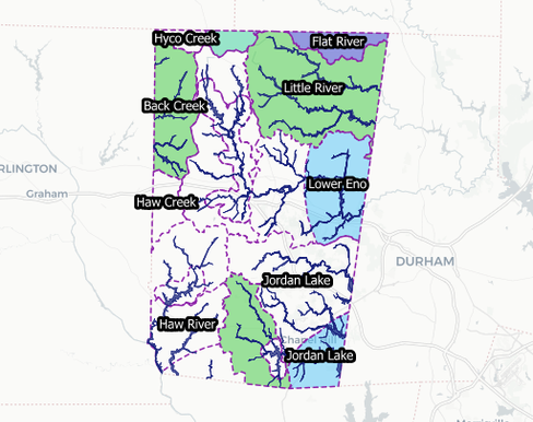
Flood-and-Watershed-Data

Flood and Watershed Data

Land-Record-Lookup-Map

Land Record Lookup Map

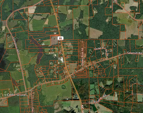
Search for land records by GPIN, address or owner. Each record has a link its entry on the register of deeds. This map is for demonstration purposes only.mapstack
Parcel-Query-Advanced

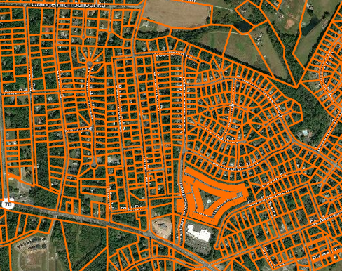
Parcel Query - Advanced

Advanced Parcel Query
Police-Response-Map

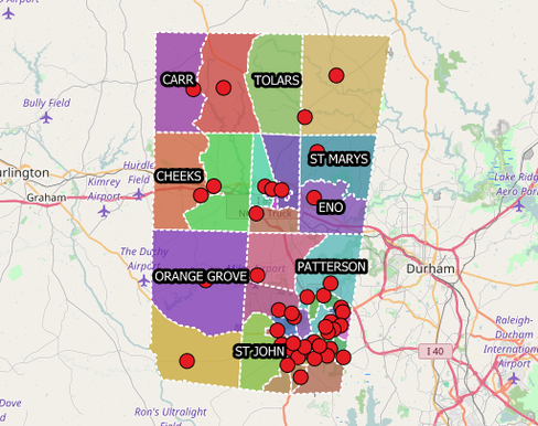
Police Response Map

Voting-Locations

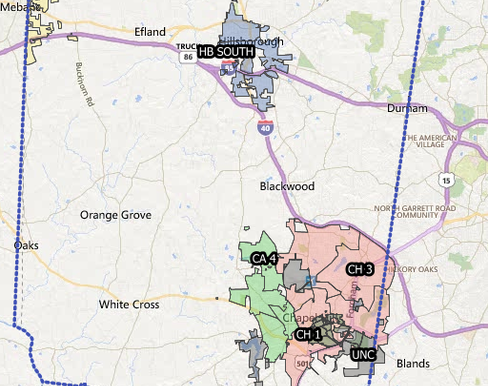
Voting Locations

Zoning-Map

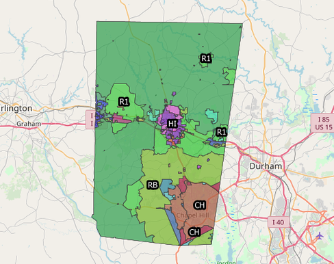
Zoning Map

mapstack
Fire-Districts

Fire Districts

Fire Districts

Flood-and-Watershed-Data

Flood and Watershed Data

Flood and Watershed Data

Land-Record-Lookup-Map

Land Record Lookup Map

Land Record Lookup Map

Search for land records by GPIN, address or owner. Each record has a link its entry on the register of deeds. This map is for demonstration purposes only.mapstack

Parcel-Query-Advanced

Parcel Query - Advanced

Parcel Query - Advanced

Advanced Parcel Query

Police-Response-Map

Police Response Map

Police Response Map

Voting-Locations

Voting Locations

Voting Locations

Zoning-Map

Zoning Map

Zoning Map

mapstack

Disclaimer: Orange County is not a real county and this application is for demonstration purposes only.