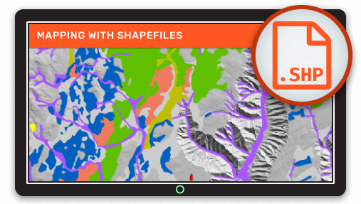
So you have a Shapefile with some really interesting or possibly even critical data that you want to share, but your colleagues don't know how to use a GIS, and I know you don’t want them to miss out on all that valuable information and insight.
What’s more, shapefiles left on a file system are at risk of being forgotten, deleted or left inaccessible, especially after personnel changes.
You were right to look into web mapping, it solves all of these problems and offers lots of additional benefits that you may not have considered.
Web maps are fantastic, here’s why:
- Your users don’t need any GIS software
- Your users only need a web browser
- The maps can be accessed on mobile devices from anywhere
- The interface is much easier to use than a desktop GIS
- The map and data updates can be managed centrally
Web mapping offers “always on” access to your maps and data in the cloud, so you can go home at night assured that your maps will be accessible to anyone who needs them at any time of the day or night.
Isn’t Web Mapping Complicated?
Web mapping can be very complicated for those that decide to go it alone, requiring:
- Lots of money
- Lots of time
- Big servers
- Expensive software licenses
- Talented software developers
I know, sounds like a nightmare right? But it doesn’t stop there. What happens when you need to:
- Update the data
- Change the interface
- Add a new tool
- Support new browsers or mobile devices
The costs can keep mounting up year after year. But luckily for you’ve got into web mapping at just the right time and now there’s another way to achieve the same results but without the stress.
Thanks to cloud-based service providers, web maps can now be deployed with a minimum of effort and can scale as your organization’s use of web mapping grows.
Cloud-based systems take care of all the servers and coding for you. All you need to do is upload your data and create your maps using a point and click interface in a web browser.
Anyone with data in hand and a bit of time to spare can put together amazing looking maps and share them with colleagues or the public.
Web Maps in the Cloud?
Mango is a leading cloud web mapping system, and it’s by far the easiest way to get your Shapefile online and share an interactive web map.
What’s more, as well as not needing any coding skills, servers or expensive software licenses Mango offers the following benefits:
- Add tools to your map like search and query to answer user’s questions
- Print directly from the map with a professional looking layout
- Customize the map with a sidebar, logo and instructional text
- Access maps via your own domain for a seamless user experience
- Portal access so users can browse all maps available from your organization
- Invite users as free private viewers, map administrators, or data editors with granular access permissions
With Mango, you can create maps that are focused on answering specific questions allowing users to quickly find the information that they need without needing to read an instruction manual.
But what about updating the data and application?
Once your maps are online you can be sure that your maps will stand the test of time. We frequently update Mango to keep up with the latest browser versions and devices. That means you don’t have to worry about losing access if they upgrade to a new browser or device.
We also provide workflows to allow you to update your data smoothly so your users will always have the latest information. You can either re-upload your shapefile if updates are infrequent or your configure Data Sync so that file updated via Dropbox will automatically appear in your account and your maps will automatically update.