Agile, Affordable Web Maps for State & Local Government

Serve your county with data-rich online maps with ease, accessible to all.

More Than Just Maps - Your Open Data Portal

Instantly deploy your local open data portfolio and leverage the potential of your geospatial data. Increase understanding of how your county serves its citizens, and empower business and community groups with actionable insights and opportunities locked within your data.Seamless branding and custom domain tools ensures easy integration with your existing county or township website. Switch on maps and data the public need, and ease collaboration with private maps and password protection.

Counties & Townships Across the US are Moving to Mango

RECLAIM CONTROL OF YOUR WEB MAPS

Counties need reliable, cost effective tools for geospatial data collection, management, analysis and distribution without sacrificing the power of GIS to extract answers. Increased demand for accountability and transparent government doesn't have to mean higher cost. Significant cost savings can be achieved by reclaiming control of map and data management from expensive consultants. Web mapping has never been simpler with Mango.

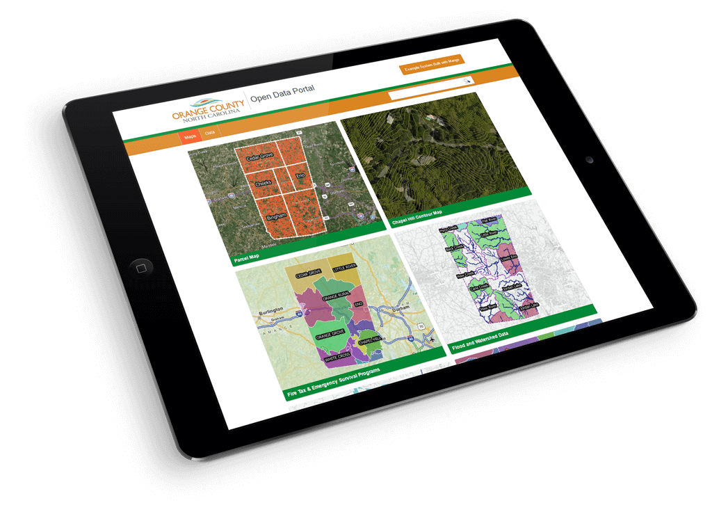
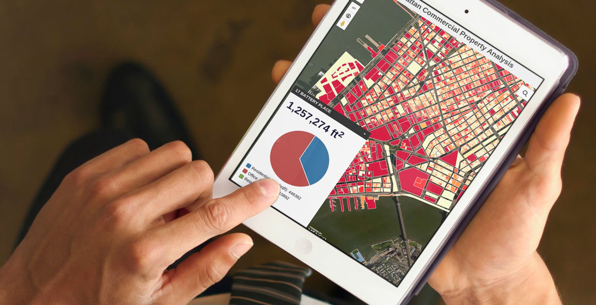
MANGO IS MOBILE, STRAIGHT OUT OF THE BOX

Still serving webmaps that won’t work on an iPhone? Start delivering data-driven maps on any device - Apple, Android, Windows, and Linux - with full functionality. Manage your maps on any browser, on any platform, and serve maps wherever they're needed.

NO CODING, NO SERVERS, NO LICENSES

All the benefits of a do-it-yourself system, without having to build it yourself. The best part: you already know how to use it. Create powerful GIS web maps faster and easier than ever before - without writing a single line of code.

BUDGET WITH EASE

Simplify your county budget with Mango’s flat rate low pricing. Never think about credits, views, or quotas. Ever again. Need more? Enjoy the flexibility of penalty-free upgrades at any time. Annual and multi-year plans come with even greater savings.

FUTURE PROOF

Built upon an innovative open source technology stack, Mango is built for the future. Your maps and data are secured with world-class AWS enterprise-level security with optional SSL encryption, and served via world-wide content delivery networks ensuring accessiblity and blazing fast performance.

COLLABORATION

Mango will become your county's one-stop data collaboration platform. Distribute maps to unlimited public and private viewers, and empower data editors and administrators with permissions based access to improve data collection, map creation, and data management.

INSTANT IMPLEMENTATION

Mango is up and running the moment you create an account. Upload and style your data, enable visualization and analysis tools, then flick a switch and your map is online. It’s really that simple.

START DOING MORE FOR LESS

Migrating to Mango takes most counties less than a week. It's time to unburden your GIS department from complex tools and unnecessary expense and move your maps to Mango today.