ST. JOSEPH COUNTY MICHIGAN | St Joseph County MI

ST. JOSEPH COUNTY MICHIGAN

Menu
  • Request Free Data

    All of the GIS data found here can be downloaded for free public use. Please fill out the GIS DATA REQUEST FORM here. You will be instructed as to how to download St Joseph County GIS data for free.

  • Terms and Conditions
    Disclaimer:

    The maps and data found in the Interactive Map Portal are neither legally recorded maps nor surveys and are not intended to be used as such. The information on St. Joseph County websites, are distributed and transmitted 'as is' without warranties of any kind, either expressed or implied, including without limitations, warranties of title or implied warranties of merchantability or fitness for a particular purpose. St. Joseph County does not guarantee the accuracy, timeliness, or completeness of the information on this website.

    The Geographic Information System (GIS) made available through this website is developed and maintained by St. Joseph County. Use of materials and information constitutes acceptance of all disclaimers associated with these websites. GIS data is not the official record of the County. This data is made available for information purposes only!

title

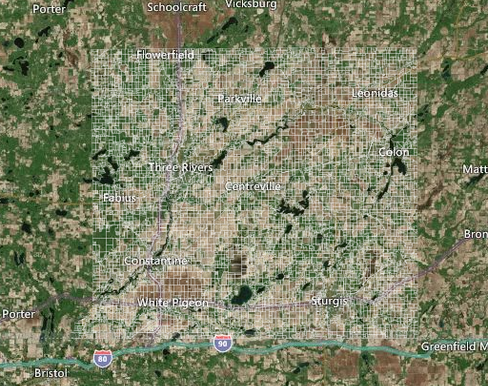
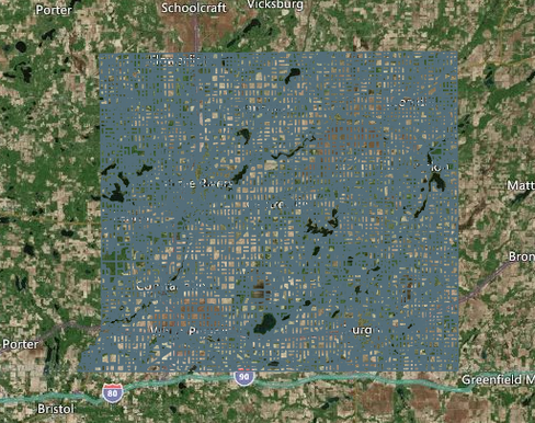
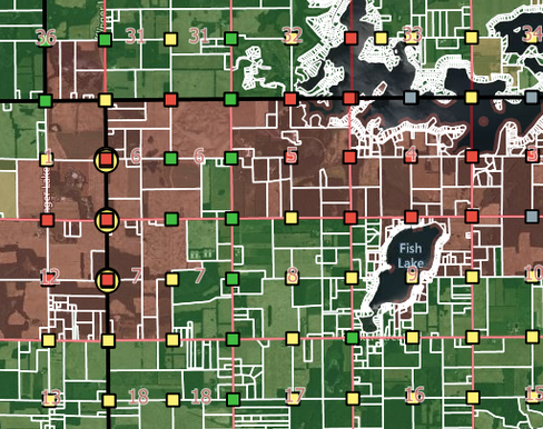
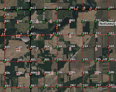
INTERACTIVE MAP & DATA PORTAL

Explore these interactive maps to learn more about St. Joseph County!

Maps
Data
Address-Verification-Portal

Address Verification Portal

All E-911 Addresses Currently Active in the Emergency Dispatch System.
Drain-Assessment-Mapping-System

Drain Assessment Mapping System

(D.A.M.S.)
Emergency-Management-Mapping-System

Emergency Management Mapping System

Maps & Data for Emergency Management
Land-Value-Mapping-System

Land Value Mapping System

View and Compare 2021 Land Values by Type of Parcel: Agricultural, Residential, Commercial, or Industrial.
Parcel-Detail-Maps

Parcel Detail Maps

Download Elevation and Dimension Maps for Your Parcel!
Parcel-History-Portal

Parcel History Portal

Your Source for Annual Parcel Data Since 1998
Parcel-Line-Accuracy-Map

Parcel Line Accuracy Map

Interactive map showing the estimated accuracy of St Joseph County parcel lines and the status of the Remapping Project.
Remonumentation-Program

Remonumentation Program

Map showing the remonumentation status of all 2,796 section corners in St Joseph County.
Address-Verification-Portal

Address Verification Portal

Address Verification Portal

All E-911 Addresses Currently Active in the Emergency Dispatch System.

Drain-Assessment-Mapping-System

Drain Assessment Mapping System

Drain Assessment Mapping System

(D.A.M.S.)

Emergency-Management-Mapping-System

Emergency Management Mapping System

Emergency Management Mapping System

Maps & Data for Emergency Management

Land-Value-Mapping-System

Land Value Mapping System

Land Value Mapping System

View and Compare 2021 Land Values by Type of Parcel: Agricultural, Residential, Commercial, or Industrial.

Parcel-Detail-Maps

Parcel Detail Maps

Parcel Detail Maps

Download Elevation and Dimension Maps for Your Parcel!

Parcel-History-Portal

Parcel History Portal

Parcel History Portal

Your Source for Annual Parcel Data Since 1998

Parcel-Line-Accuracy-Map

Parcel Line Accuracy Map

Parcel Line Accuracy Map

Interactive map showing the estimated accuracy of St Joseph County parcel lines and the status of the Remapping Project.

Remonumentation-Program

Remonumentation Program

Remonumentation Program

Map showing the remonumentation status of all 2,796 section corners in St Joseph County.