Web maps aren't just for visualizing data, they can also be a very powerful tool for collecting and editing data. In this article you will learn how web maps can be used for data management and be introduced to the best practices for online data editing.
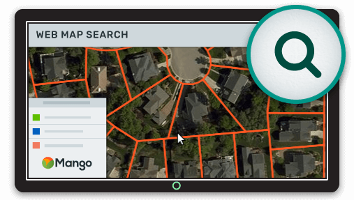
When it comes to viewing maps, the benefits of a web map are clear:
- All that's needed is a web accessible device
- No prior GIS experience is required
- The maps and data can be access at anytime, from anywhere
But these benefits don't just apply to viewing data, they also apply to data editing and collection. In the same way that a desktop GIS is too complicated for most users to gain benefits from without extensive training, the same is true of data management.
A desktop GIS in many cases is a big hammer to crack a small nut, and we know we will get far more value from our mapping efforts if we can cast a wider net in terms of who has access and who can contribute.
Also just as we don't expect a web map to be a replacement for desktop GIS power users when it comes to viewing and querying, we don't expect a web map to be a replacement for a desktop GIS for everyone when it comes to editing.
What a web map can do is leverage the 80/20 principle. In this case that means providing the 20% of data management features that are used 80% of the time. While we can carry on using the desktop GIS as a fallback for heavy lifting or complex editing.
Online GIS Editing Features
If we follow the 80/20 principle, then the data management functionality of a web map really only needs to do the following:
- Edit attributes
- Edit geometry
- Dataset replacement
- Data sync
Of course even these features can get quite complex, especially when we start thinking about bulk edits, geometry snapping and input validation.
But there are many use cases where such features aren't needed. Things such as plotting traffic accidents, or updating the status of sales territories. A web map can allow such edits to be made by the person collecting the data rather than having to pass through a GIS team.
So let's take a look at these editing features and how they can work in their most simple form.
Attribute Editing
This can be as simple as selecting a feature on a map, being presented with a form, updating the values and pressing save.
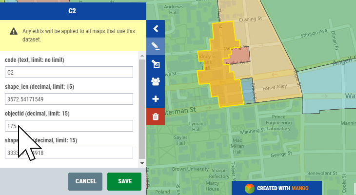
If we want more control, we can consider limited the attributes that can be edited based on the user's role and also restrict or suggest the possible values that can be entered.
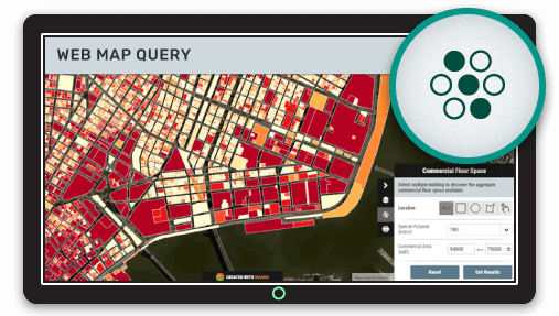
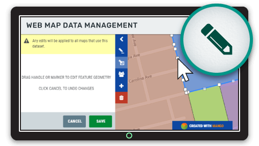
Geometry Editing (points, lines and polygons)
Editing geometry such as points, lines or polygons is something that can be very simple or very complex. The simplest application would be selecting a feature, then placing draggable nodes over the vertices which allow the user to make changes.
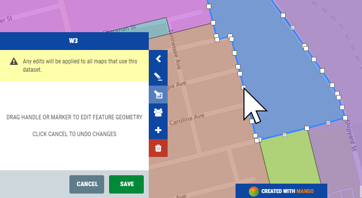
A more complex implementation might also include snapping, but in a web context this feature often isn't implemented due to performance limitations of the web browser.
Dataset Replacement
Often more complex editing is performed on the desktop, this means it's important to be able to easily replace a dataset with an updated version and have all of the maps and layers using that data automatically update.
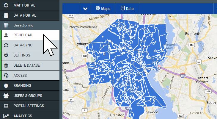
If updating datasets is a complex or protracted process, then updates will likely be infrequent and the map won't deliver the most up to date data to your users.
Data Sync
In some cases, even a simple upload and replace is too slow. Maybe some datasets are updated frequently by many different users.
In such cases a web map should sync to the data on the local network and automatically update itself when a change is detected. Even better this system should allow for a distributed team by hosting data on a data sharing platform such as Dropbox.
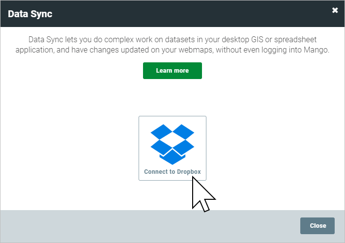
This would mean multiple users could be given access to a shared Dropbox folder, and when any edits are made, all users of the folder will see the changes. Those changes can also be pushed to the web map server in order to keep the web map up to date.
If you don't need near real time updates, it's also possible to write a script that will take a nightly snapshot of the data and move it into a shared folder in order to update the web maps.
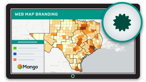
Data Management Simplified with Mango
Mango, the simple to use online GIS, offers all of the features outlined in this article. All you need to get started is a Mango account, a web browser and your data, then everything can be setup with just a few clicks.
As with all Mango features what you won’t needs is:
- Any programming skills
- A server
- Expensive software licenses