Background
In 2018, Chad Howard, IT director for the 911 office in Henry County, Tennessee, was looking to upgrade the department’s legacy GIS setup to something more modern and flexible to store and edit geospatial data. For this, Chad required a server, but was quoted more than $30,000 by Esri, a solution that could only be used with Windows machines. The problem? The quoted price point was not only too expensive, but also technologically inadequate as the office had machines running both Linux and Apple software.
Chad needed a different solution.
The need was pressing, as Henry County’s 911 office had full responsibility for maintaining a database of road names and ensuring up-to-date addresses through field data collection. Their existing solution was convoluted and at high risk of error, relying on sharing files via USB drives. For example, if Chad was heading out to collect field point data, he would need to download the latest dataset from his boss’ desktop, upload it to his laptop, go out and collect data, merge the datasets on the laptop, and then re-upload to his boss’ desktop from the USB.
To help solve this problem, Chad called on the help of Randal Hale, the owner of North River Geographic Systems, a GIS consulting firm based in Chattanooga, Tennessee. Together, they outlined a need for a desktop, server, mobile, and web-mapping solution.
Chad’s budget meant the costly, complicated and Windows-only commercial route wasn’t viable. Instead, they researched open-source alternatives like QGIS to create a hybrid commercial/open-source model to help with data collection, manipulation and distribution. The solution turned out to be so successful that Chad was ultimately able to completely remove his Esri license and instead rely on a blend of open source and cost-effective commercial software like Fulcrum and Mango.

Randal Hale and Chad Howard
How The Problem Was Solved
Chad and Randal blended open-source and commercial tools to cover the entire workflow.
All field data collection is now handled using Fulcrum at a cost of around $30 per month. Fulcrum is an intuitive smartphone app for collecting point data, such as addresses, in a fast and simple manner. Once the field data is collected in the app, all Chad now needs to do is log in to his Fulcrum account on a laptop, and copy the GeoJSON URL pre-made by Fulcrum. Chad pastes this URL into the free, open source QGIS - one of the best free alternatives to desktop solutions like Esri ArcGIS.
The data is stored in PostgreSQL/PostGIS and then served out through GeoServer. Finally, Mango serves as the publication platform with all the final information rendered on a live map that’s always up to date - no more USB drives. This makes distribution easy with everyone able to access the latest version of the maps and data in a quick and simple manner.
Best of all - because the new system integrates open-source tools, Chad and Randal have been able to create an entirely new system for just over $2,000 - a stark contrast to the earlier estimate of ~$30,000.
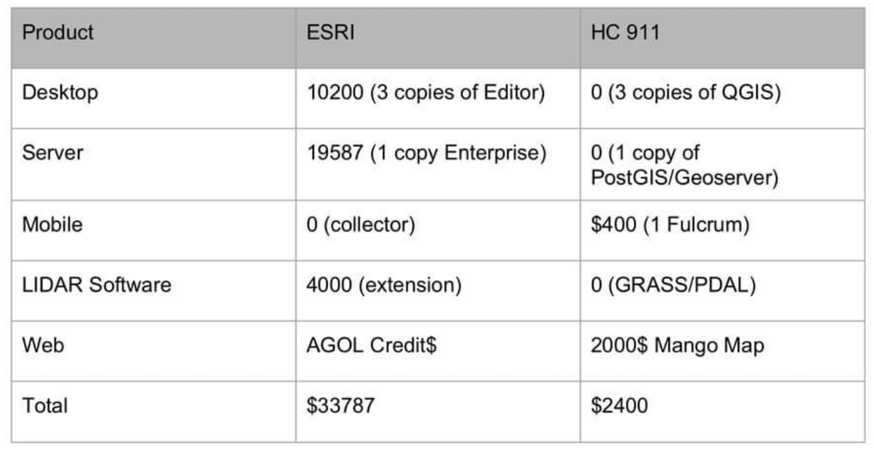 Price comparison of commercial GIS setup vs. hybrid open source/commercial setup Source: Fulcrum
Results
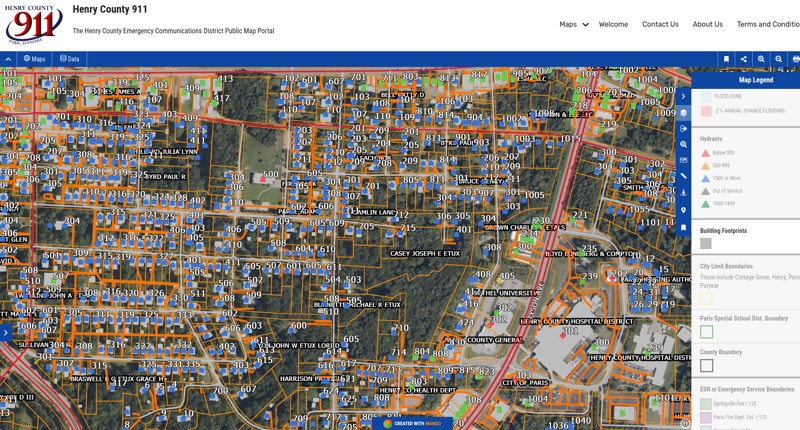
The published maps contain all the roads and road names recognized by the Henry County Enhanced 911 System to locate 911 designated addresses, which Chad collects and sends to the County. This is constantly up-to-date data that can be accessed by anyone at any time.
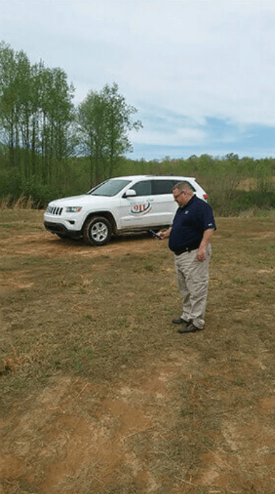
Chad field checking addresses
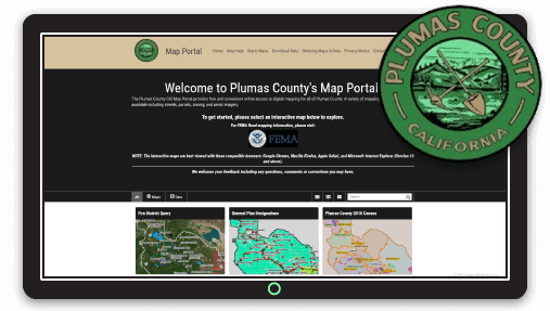
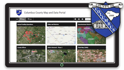
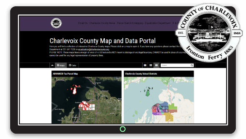
Once the maps are published, Mango enables users to easily access the data they need through the Map Portal. The Mango Map Portal is a homepage containing all the account’s public maps, allowing power users to locate the map they need for their current task and then easily navigate back to select another map. As a result, Henry County has implemented an effective, easy-to-use solution using Fulcrum, QGIS and Mango at a tenth of the cost of a commercial GIS solution.
Wider Impacts in the Local Community
had has also added a dynamic URL in the map’s pop-up for each land parcel that links to a database containing a full breakdown of ownership, price and other vital information for each portion of land. This feature has won praise from many in the local community, including real estate agents, banks and insurers. Chad has also benefited from Mango’s private map functionality and created a digital map showing all the local mainline gas pipes along with the service lines going to each house - all visualized precisely in an engaging digital map.
Having an online map for the Henry County 911 department also ensures greater workflow control as new data collected from Fulcrum is automatically updated on their Mango Map by using the Dropbox sync tool whereby the file updates automatically every night ensuring the latest data is available.
The automated workflow between Fulcrum, QGIS and Mango has made the department “more functional than before” - all at a cost-effective price.
Henry County provides a great example of how a city or county government office can significantly improve workflows, boost productivity, and drive efficiency all at a fraction of the cost of an enterprise-level commercial GIS setup - all enabled by a little know-how and adopting a hybrid open-source/commercial model.
If you’re a city or regional government organization looking for a similar solution, please get in touch today and see how Mango and our team of mapping pros can help you.