“I would highly recommend Mango to anyone in local government, as it can become such an asset to your staff and community.”
—Graham Scott, GIS Coordinator/Technician, Town of Stettler, Alberta, Canada
Stettler is a town in east-central Alberta. It is located 183 km south of Alberta's capital city, Edmonton. The town is nicknamed "The Heart of Alberta."
With only 6,000 residents, Stettler is a fantastic example of how cloud computing can bring Enterprise level solutions to local governments that might not have Enterprise level software budgets.
Summary of Reasons for Choosing Mango:
-
Competitive price point
-
Fast and effective customer support
-
Excellent support for aerial photography
-
Fast loading maps
-
Good labelling
-
Easy to customize
Why Stettler Selected Mango
Mango isn’t Stettler’s first online GIS system. Graham Scott, the town's GIS coordinator, explained to us that Mango replaced their existing system which was, “costing our township a lot more.”
He went on to say that, “I like using Mango a lot more, and it looks much better too.”
How Stettler Are Using Mango
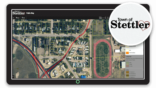
Stettler have created ten maps within Mango. They range from their Public Map which contains useful information for residents such as zoning, garbage collection days and compost bin locations, through to more specialized maps that detail cemetary plots.
But the decision to move their system across to Mango wasn’t just about ease of use and the aesthetics of the maps created on Mango.
What really impressed Graham was the speed of customer support, which has been more responsive than much higher priced solutions. “The Mango team respond very quickly to questions”, he said.
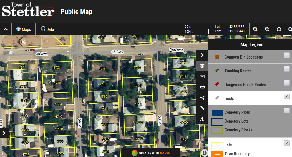 Town of Stettler Public Map
What Sets Mango Apart
Mango offered Stettler a range of benefits over their existing solution. What originally attracted Stettler to Mango was the price, ease of use and the responsive customer support.
But now that Stettler have been using Mango for a number of years, other benefits of using Mango have become apparent.
A feature that Stettler has used extensively is Mango’s support for raster datasets. Stettler have been able to quickly and easy upload aerial photography for their town, Graham told us that this is an important feature for them as their aerial photography is much more up to date than base map imagery provided by base map services such as Bing Maps.

Stettler have also been impressed with the speed of the map applications. Slow loading maps are often an issue with web maps, but “the data loads very quickly with Mango” for Stettler’s maps, Graham informed us.
Stettler’s use of Mango shows us that even small towns with smaller budgets can deliver first class web mapping systems to their constituents.
