“The goal of this site is to help our community find the information they need in a user-friendly way.”
Sound familiar?
That ubiquitous sentence is found on most county websites, probably yours too.
It doesn't sound like too lofty a goal, but most often the vision doesn't reflect reality.
It's not that it's written in deceit. On the contrary. It's a genuine desire, a vision, that the county officials want to achieve.
After all most county officials, from the county manager to the dog catcher, is elected — even if most everyone "forgets" to fill in that part of the ballot on election day — and serving the local community is the ultimate goal (and keeping the community satisfied also increases the chances of re-election).
Whether it's educating first-time home buyers or working to protect vulnerable property owners from predators, the Registry forms one the most important records held by your county, providing a permanent record of transfers, interest, and ownership, and the final word on land dispute conflicts.
Managing and maintaining a register of such a crucial registry is no simple task.
Often the goal of providing assistance to your community to find the information they need in a user-friendly way is harder than first imagined.
Accessing and answering questions from the deeds register is a necessary task for anyone interested in a piece of property for financial or personal reasons. The chain of title and current ownership interests needs to be established to understand each piece of property.
Unearthing a single record from a byzantine system of record books, obscure terms and acronyms are simple for those with expertise in the subject, but for constituents, such things are not so trivial.
The reality is, deed registries are most often digital scans of hand-written documents. Humans being human, it's not unusual that there will be data entry mistakes and errors that will make searching the database more difficult.
You can bet just about everyone has looked up their own house of google images, after all, it's a simple task -- there's only one input field.
Just one.
Bing goes and makes things a little more complicated by adding in tools along the top bar, but again, just one input: search
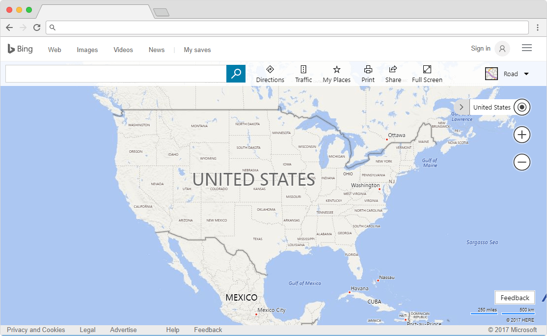
One primary action. Search.
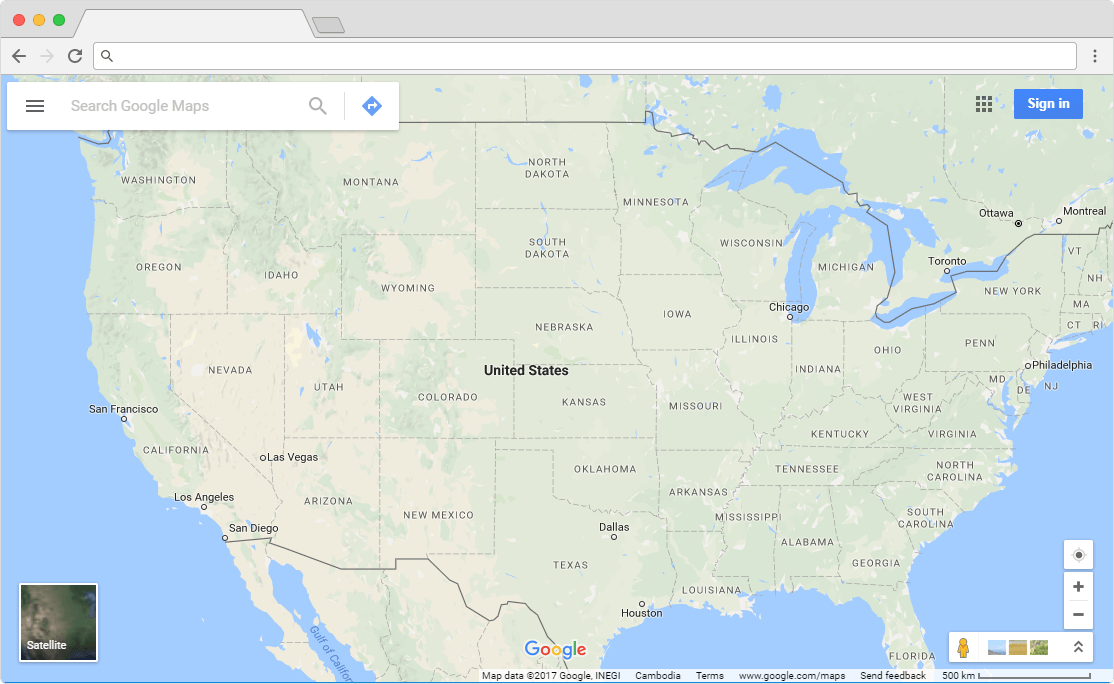
It's easy to forget how intuitive web services like Google maps can be.
We're now so used to interacting with them, it's consolidated into muscle memory.
Open the map, type my address, my house appears.
Information required: my address.
Most deeds look-up interfaces sit at the extreme other end of the spectrum.
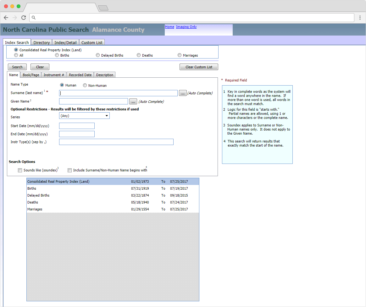
Faced with a typical deeds search, should we suppose the searcher knows the instrument number? The block? The section? The phase?
The expertise of the register or clerk could be called upon to help the constituents find the information they need, but that presents several problems:
Firstly, physical records searches often cost money and need to be done in person at the registry office.
Secondly, trying to deliver services to a few dozen people at once is going to put a strain on staff, creating a bottleneck for service delivery, and taking registry staff away from other work they could be doing. Plus, having dozens of people lined up around the block outside the registry office is less than ideal.
The next sentence you often find on county sites is,
“It is our goal to continue to bring new technology to help give you the information you need quickly and easily.”
We're heading in the right direction.
While not all Information technology has allowed government to provide a level of service to a greater number of citizens that simply wasn't possible thirty years ago.
Empowering the public with tools that provide answers quickly, easily, and simultaneously reducing workloads for public-facing staff is a worthy goal, but delivering a simple, unified search interface with bi-directional links between records and maps can be made simple or difficult, depending on the tools you've chosen for the job.
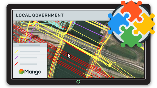
Working in tandem with the Clerk and Recorder, your county GIS team can include links within the county's GIS web maps that link directly from land record parcels to deeds that are stored online in an existing database.
One unified search field on your web map can be the door that lets users swiftly move through the mountains of data held by the county, returning only highly relevant information.
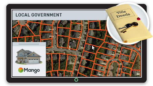
With the right web mapping tools, a user can search a property address, and immediately be presented with the information they need and links to dive deeper into your records.
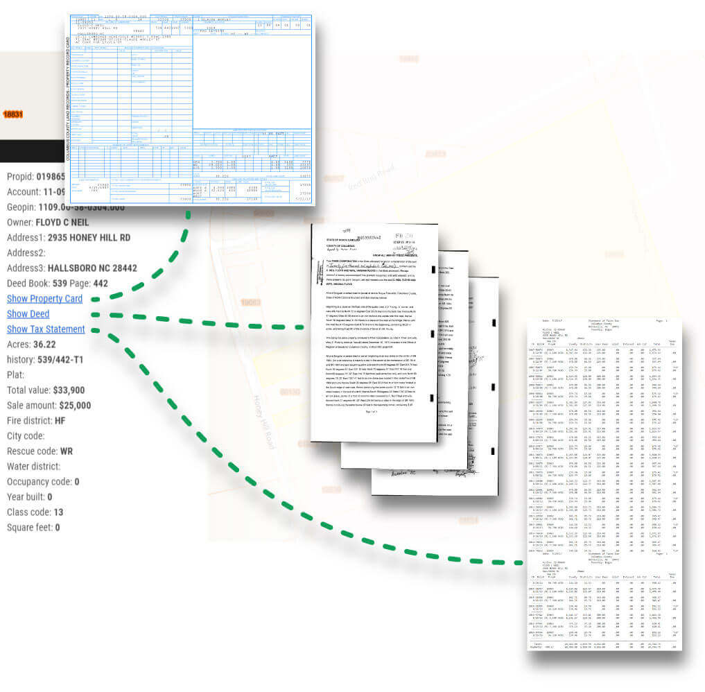
The win for you is that it's likely that your GIS data already contains all that's necessary to create these pathways. Deed record ID, instrument number, the Assessor's Parcel Number - any one unique value for a property is all that is required to create dynamic links from your web map pop-ups.
For example, if your data contains a field called APN, you can create a link to your deeds records that dynamically inserts the related record:
If your online deeds database allows URL parameters to display a deed, you can create a link in your web map using a unique value like this:
https://orange-county.com/deeds?id={APN}
When users click on a parcel, the {APN} is replaced with the unique Assessor's Parcel Number, and the link becomes
https://orange-county.com/deeds?id=019865
If your online deeds database uses a folder-based system of deed books and page number references, you could create a link like this:
https://orange-county.com/view_record?{deed_book}/{page}
Which becomes:
https://orange-county.com/view_record?001138/000422
Ease of navigation is key for users, so ensuring bi-directionality is simple by adding links from your deed records back to parcels with Mango's feature permalink.
Using a link template in your deeds database, you can drive users back to your map with the selected property highlighted.
https://mangomap.com/orange-county/maps/49891/parcel-map?layer=8eea8876-e11e-11e5-aad8-22000bb3a3a1&field=APN&value={unique apn}
becomes
https://mangomap.com/orange-county/maps/49891/parcel-map?layer=8eea8876-e11e-11e5-aad8-22000bb3a3a1&field=APN&value=9799028061.212
Summary
There's many ways to deliver user-friendly services for constituents, but it's simple pathways like that leverage end-user intent and existing understanding that make it truly simple for constituents to find the information they need. This is the gold star against that vision of helping your community.