Basemaps are a core component of your web map providing your users with context. But with so many basemaps to choose from, which ones should we use? In this article we will go through what's available and which use case each is best suited to.
A common practice in web map clients is to allow your user to switch the basemap and select one of their choosing, but most users won't use this feature, which makes our choice of default more important.
Let's look at the various types of basemaps available.
Street Map
The street map is the most common default; these maps add additional detail as the map is zoomed in. They are rich in content which makes them great for providing your user with bearings, but at the same time this detail can be distracting, or "noisy" as designers like to say.
So a street map is a great choice in an urban context, or when the map is of an area the user may not be familiar with.
It's not such a great choice for a map visualizing something like election results by state, as the user of the map already knows what they are looking at and had context from experience.
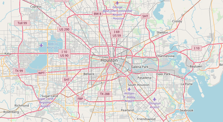
There are various street maps to choose from, including Bing, OpenStreetMap, Here Maps among others. Unfortunately, the now most famous street map provided by Google is not available as their terms of use restrict usage to web maps built on their platform.
Satellite / Aerial Imagery
Satellite imagery is great for maps where it's important for the user to be able to survey the ground cover and land use. Think agricultural or environmental mapping.
Once again, it's probably not best suited to analytics can statistical maps for business intelligence.
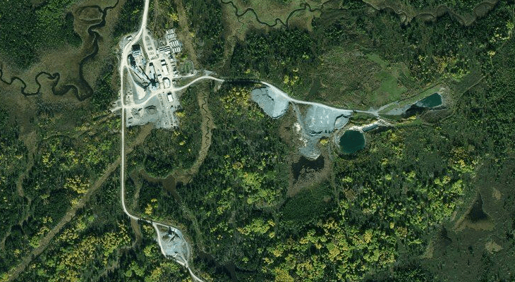
Satellite imagery is also particularly useful in remote and rural areas that are rich in natural landmarks but man made features that make up most of a street map are few are far between.
Both Bing and Here Maps allow use of their imagery on third party maps (subject to their terms of service). Once again Google is off limits.
Clients often ask which is best. There is no answer to this, each provider acquires their imagery from a range of sources, often at the local level.
The two considerations when assessing imagery are the resolution and the age. Ideally we want very up to date imagery, that's also very high resolution. Unfortunately, in life we usually get what we pay for, and in this case most of the free imagery providers won't give us the most up to date imagery at the highest resolution.
If your mapping app requires higher resolution or more up to date imagery, then you should look to third party providers.
Some local governments provide very up to data aerial photography free of charge as a WMS (Web Map Service), there are also numerous private providers. They are often local, or national, so Google is your friend when it comes to discovering them.
Hybrid
Hybrid mapping gives you the best of both worlds. You get a simple street map overlaid on aerial imagery.
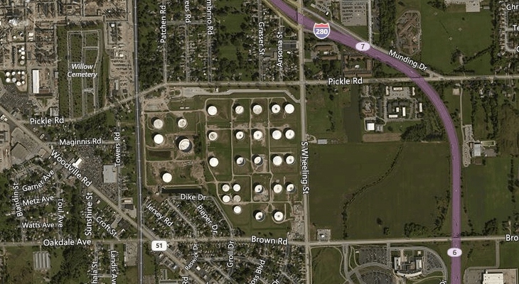
I find this particularly useful in urban settings as it allows the user to use a combine local knowledge and visual cues along with more concrete information like road names.
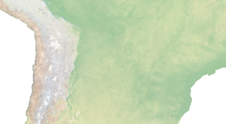
Simple
Often a simple basemap is best, especially in scenarios where the use can assess the map at a glance, rather than go hunting for specific areas of interest.
A "quiet" basemap doesn't distract from the story the map wants to tell. Some of the simple maps on offer are also highly stylized, so fit nicely with bold visualizations and business intelligence or statistical applications.
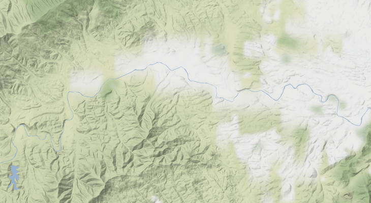
There are many great simple base maps available. But to get started I would recommend looking at Stamen's Toner and Terrain basemaps.
Custom Basemap
Sometimes you don't want a basemap from the standard providers, maybe you need something highly specialized such as a nautical map or a digital elevation model which you have made yourself or sourced from a specialized provider.
The standard way for integrating these basemap into your web map is by using a WMS (Web Map Service) or WMTS (Web Map Tile Service). The provider will give you a URL which is the source for the tiles which can be loaded onto the map.
Choosing from a Wide Range of Basemaps with Mango
Mango, our simple to use online GIS, makes it easy to choose a custom basemap for your web map applications, all of the methods and options covered in this article are available.
All you need to get started is a Mango account, a web browser and your data, then everything can be setup with just a few clicks.
As with all Mango features what you won’t needs is:
- Any programming skills
- A server
- Expensive software licenses
