
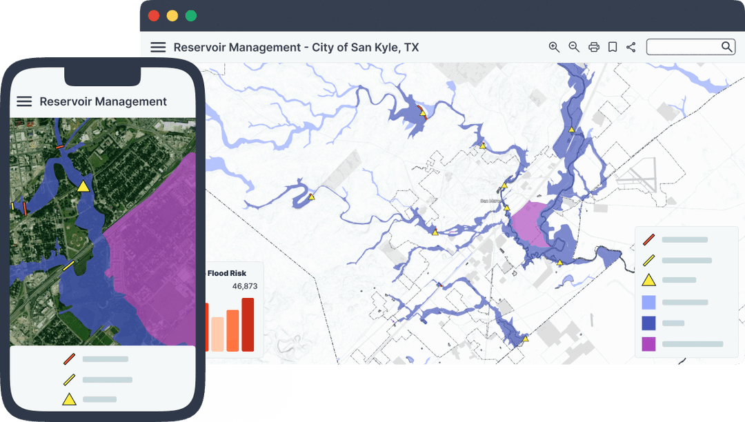
Accelerate your eco-mission.
A no-code GIS platform for environmental consultants to publish stunning, long-term maps that win funding and wow stakeholders.



Used by companies like:





Deliver Eco-Innovations Faster, Cheaper, and Smarter
Launch compelling portals from drone and field data in days, not months—no tech overhead.
Stakeholder-Ready Simplicity
Visually engaging maps that non-technical funders and clients grasp instantly.
Ditch the delivery delays
With one click, send secure, interactive maps to clients or teams. No more slow emails or static files—just instant access that saves you time and impresses stakeholders.
No need to start over
Mango integrates smoothly with your existing GIS tools and data formats, letting you dive in without wrestling new tech or disrupting your setup.
Budget-Friendly Pricing
Clear, affordable plans fit tight grant cycles—no more justifying bloated software costs.
Deliver Results That Matter
Proven Outcomes to Amplify Your Eco-Mission

Transform drone imagery and field data into portals that secure funding quickly.
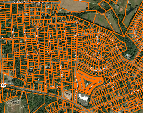
Turn scattered datasets into clear, interactive maps for non-technical buy-in.
Publish and update dynamic portals to monitor efforts without delays.
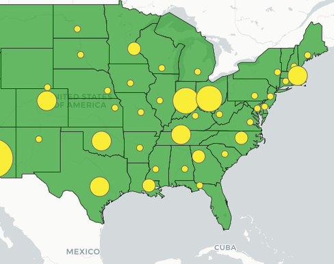
Blend aerial insights with open sources for standout portals in days.
What County Officials Are Saying
Real results from real counties that switched to Mango Maps

Gonzalo Ruiz
Eco-warrior, ARC Spain
We Moved Beyond Static Reports and Secured More Funding!
Result: ARC reduced manual updates by 70% and used our dynamic portal to win additional grants for habitat restoration—impressing both clients and donors.

Priya K.
Ridge to Reefs
Turned drone data into a portal that won us a $50K grant—fast and affordable.
Result: Ridge to Reefs slashed data prep time by 60% and showcased drone insights in a portal that secured $50K for coastal restoration.

Javier S
EPR
Non-technical clients now get it. Renewed our contract in weeks.
Result: EPR simplified complex analyses into a user-friendly portal, boosting client retention by 30% with faster renewals.

Luca R.
AR Consultores
Stakeholders love the visuals. Our reputation’s never been stronger.
Result: AR Consultores increased stakeholder engagement by 50% with vivid portals, cementing their eco-innovation leadership.
Drop in drone imagery, field collection spatial data, or open data — ready to map in minutes.
No-code tools turn complex datasets into stunning, interactive maps effortlessly. Ready to share with clients in hours, not weeks.
Publish fast, impress funders and clients, and watch your eco-mission soar.
Add new data as it comes in. Mango syncs updates instantly across all maps, keeping your work fresh without extra effort.
Track every project in one place. Add team members, tweak access, and stay in control—no clutter, just clarity.
Stakeholders love the accessibility and reliability. You save time, they stay impressed—building trust that grows your reputation.
How does your pricing fit my tight budgets, especially with grant-funded projects?
Our pricing is designed to work within the constraints of grant limits and tight budgets. You get affordable, transparent plans with no hidden fees or unexpected costs—every dollar is predictable, so you can confidently plan projects, stay profitable, and avoid financial hiccups that derail your environmental work.
Is your platform truly no-code, even for someone like me who’s technically skilled?
Yes, it’s 100% no-code, meaning you can build professional-grade map portals without writing a single line of code. Even with your technical background, this frees you up to focus on your science—analyzing ecosystems or collecting data—rather than wrestling with programming or tech stacks, saving you time and effort.
Can your platform really handle drone data effectively for my environmental maps?
Absolutely, it’s built for that. Whether you’re using generating raster photogrammetry from drone flights, or processing LiDAR data into vector outputs for for terrain analysis, Mango integrates your data into maps in seconds. You’ll create detailed, standout maps that highlight environmental insights—perfect for impressing clients or funders with minimal hassle.
Will my non-technical stakeholders actually understand and use the map portals?
Yes, we’ve designed them with simplicity in mind. Your funders, clients, or community stakeholders—none of whom are GIS pros—can easily navigate and engage with the maps thanks to intuitive layouts and clear visuals. This cuts down on hand-holding time, letting you focus on your mission while they see the value.
How quickly can I publish a map portal when I’m up against a project deadline?
Mango is ready when you are. Always on, always ready to create maps. Go from data to a live portal in hours or days, not weeks. Our streamlined process lets you import data, design your map, and publish it fast—zero delays or bottlenecks. This means you’ll meet tight deadlines, deliver on time, and keep your clients or grant reviewers happy without breaking a sweat.
Does your platform support long-term updates for ongoing environmental projects?
Yes, it’s perfect for long-term needs. You can refresh your map portals with new drone data, field observations, or research updates anytime, without extra fees or technical headaches. This keeps your maps current and relevant, ensuring stakeholders stay engaged and your project’s impact shines over time.
Is it better than pricey GIS suites?
Leaner, cheaper, and faster—same impact, less bloat.
Publish Eco-Impact Maps Without the Cost or Complexity
Ditch high-cost GIS stacks and slow workflows. Our no-code platform lets you turn drone data, field insights, and open sources into portals that win funding, wow stakeholders, and amplify your mission—all on a lean budget.