Engineering, Survey, Planning Map Portal | engineering

Engineering, Survey, Planning Map Portal

Menu
  • Example Map Portal

    This sample Engineering map portal was created entirely using Mango. With your account you too can quickly and easily create a map portal for your organization without writing any code or maintaining any servers.


    Please take your time to look through the maps as each one showcases specific Mango features and functionality.


    Enjoy!

title

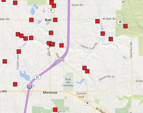
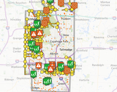
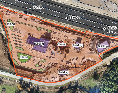
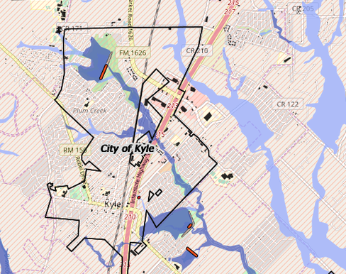
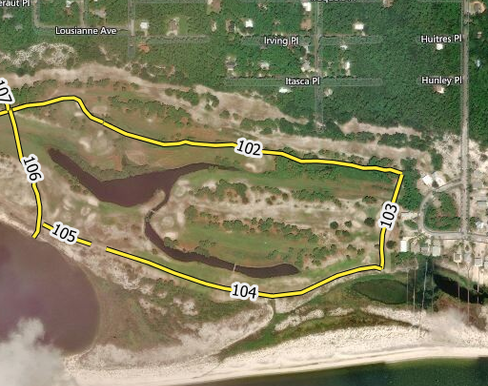
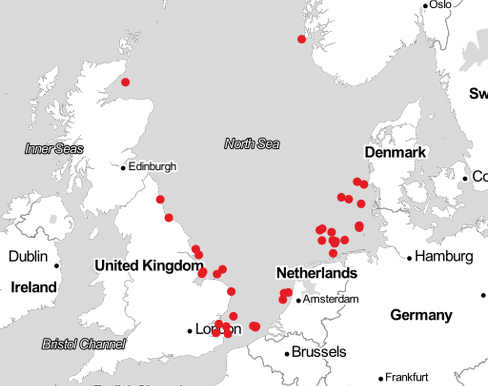
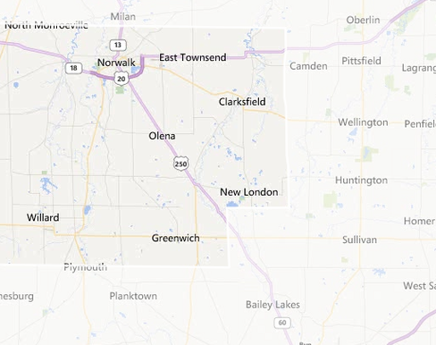
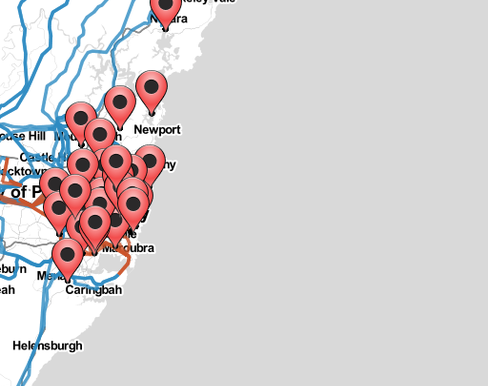
The maps below showcase how Mango can be used to support all kinds of survey and engineering projects including project planning, design, project management and asset management. Mango allows you to visualize spatial information, drill down to find out more and find assets based on criteria. Please click on a map below to see what is possible with Mango !

Maps
Data
Asset-Management-Bridges

Asset Management - Bridges

Data from Summit County OH's website. This data is provided for illustrative purposes
Asset-Management-Road-Signs

Asset Management - Road Signs

Data from Summit County OH's website. This data is provided for illustrative purposes only
Expressway-Truck-Stop-Site-Map

Expressway Truck Stop Site Map

Under-construction site map showing drone imagery and design lines
Flood-Hazard-FEMA-

Flood Hazard (FEMA)

City of San Kyle, TX. Data source; https://msc.fema.gov/portal
Geotechnical-Survey-of-Dauphin-Island-AL

Geotechnical Survey of Dauphin Island, AL

Data from USGS
North-Sea-Wind-Farms

North Sea Wind Farms

Reservoir-Management

Reservoir Management

City of San Kyle, TX. Data source; https://msc.fema.gov/portal
Residential-Redevelopment-Projects-Melbourne

Residential Redevelopment Projects - Melbourne

Residential Redevelopment Projects in Melbourne, Australia. Data from http://services.land.vic.gov.au (DL date: 2018-08-23)
Road-Maintenance-Projects

Road Maintenance Projects

Example road maintenance map created using "Sketch" tools. Click a sketch in the bottom right to see contents.
Sydney-Electricity-Grid

Sydney Electricity Grid

Map of sub-station outages Jan-Mar 2019. Source: Ausgrid
Asset-Management-Bridges

Asset Management - Bridges

Asset Management - Bridges

Data from Summit County OH's website. This data is provided for illustrative purposes

Asset-Management-Road-Signs

Asset Management - Road Signs

Asset Management - Road Signs

Data from Summit County OH's website. This data is provided for illustrative purposes only

Expressway-Truck-Stop-Site-Map

Expressway Truck Stop Site Map

Expressway Truck Stop Site Map

Under-construction site map showing drone imagery and design lines

Flood-Hazard-FEMA-

Flood Hazard (FEMA)

Flood Hazard (FEMA)

City of San Kyle, TX. Data source; https://msc.fema.gov/portal

Geotechnical-Survey-of-Dauphin-Island-AL

Geotechnical Survey of Dauphin Island, AL

Geotechnical Survey of Dauphin Island, AL

Data from USGS

North-Sea-Wind-Farms

North Sea Wind Farms

North Sea Wind Farms

Reservoir-Management

Reservoir Management

Reservoir Management

City of San Kyle, TX. Data source; https://msc.fema.gov/portal

Residential-Redevelopment-Projects-Melbourne

Residential Redevelopment Projects - Melbourne

Residential Redevelopment Projects - Melbourne

Residential Redevelopment Projects in Melbourne, Australia. Data from http://services.land.vic.gov.au (DL date: 2018-08-23)

Road-Maintenance-Projects

Road Maintenance Projects

Road Maintenance Projects

Example road maintenance map created using "Sketch" tools. Click a sketch in the bottom right to see contents.

Sydney-Electricity-Grid

Sydney Electricity Grid

Sydney Electricity Grid

Map of sub-station outages Jan-Mar 2019. Source: Ausgrid

Note: While the data shown in these maps is real, they are for demonstration purposes only.