|
|


Active Transportation
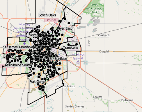
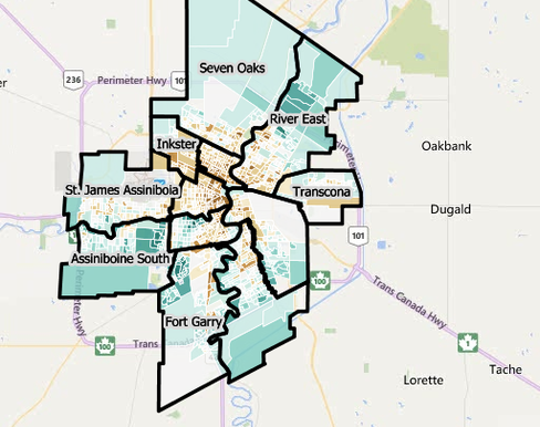
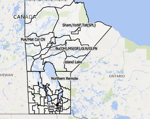
Community Data Map, Manitoba
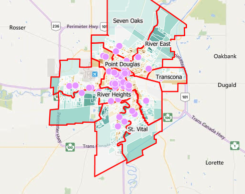
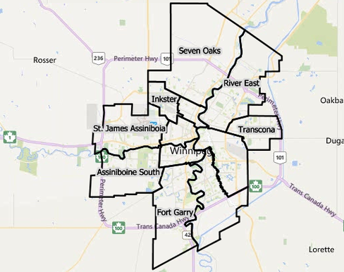
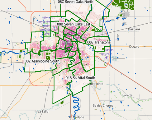
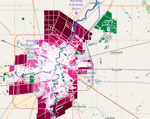
Community Data Map, Winnipeg Health Region 2019
Food Desert Mapping, Winnipeg Health Region
Overdose and Drug Related Harms
Referral Lookup
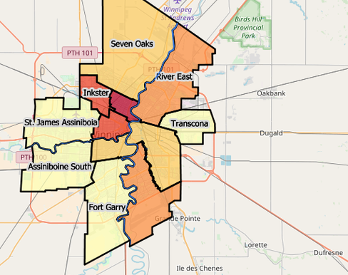
Transportation and Urban Design Map, Oct, 2018
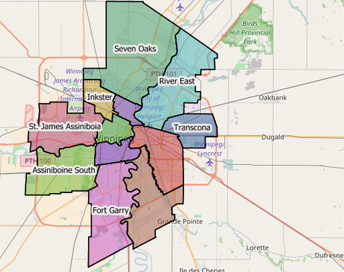
Trees Added Removed, City of Winnipeg, 2015 vs. 2021
Winnipeg Food Atlas