Is your once cutting edge web GIS now looking antiquated? To find a replacement, here's what you need to know.
Ensuring your web maps remain online, responsive and up to date is of the utmost importance for local counties and cities.
"on its last legs"
I was just recently talking about the trials and tribulations of maintaining a GIS web server with a county MIS manager in Colorado. His server was "on its last legs" and had become prone to lock ups and random shutdowns.
Usually, the first alert of a problem he got was irate calls from tax assessors and real estate agents in the county.
At one point the outages had become so frequent that he was even approached in a restaurant by a realtor who felt it appropriate to air his concerns on a Sunday afternoon.
But the problems with aging servers don't stop at the hardware. Dated servers tend to be loaded with dated software.
Dated Software
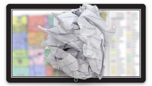
The web GIS system that was the belle of the ball in 2005 is now looking antiquated to put it politely.
When this system was built Britney Spears was at the top of the charts and your matchbox size mobile phone was made by Nokia.
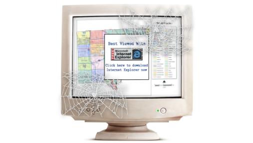
The little logo on the bottom of the interface says "Best viewed in Internet Explorer 6", a throwback to a time when Chrome was something that decorated your car.
Touchscreen support?
Forget it.
You're lucky if the system works on a desktop browser, never mind a mobile device.
Today mobile support is no joke. In 2016 global internet traffic leaped past desktop traffic for the first time and shows no signs of slowing down.
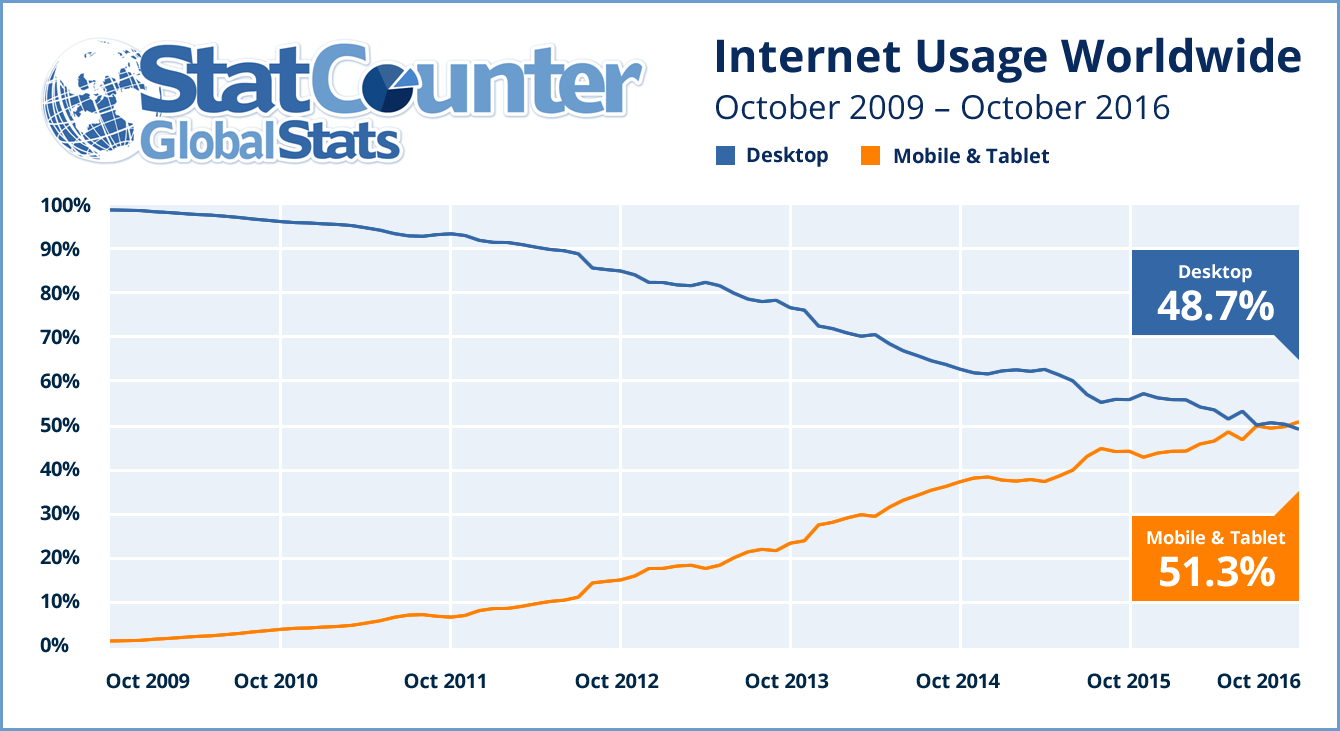
If you don't have mobile support, you've cut the value of your system in half.
To add insult to injury, a worrying number of local government GIS systems are still using the Flex interface from ArcGIS Server.
Flex (which requires flash to be installed on the user's computer) was a good idea, but not as good an idea as HTML5 which now rules the internet.
Flex was long ago cast into the failed technology garbage dump and is currently resting in peace above a huge mountain of Laser Disks and broken Segways.
Flex applications don't work on mobile (Android or iOS) and are now blocked in Google Chrome by default.
So to summarize, if your web GIS is using Flex, it doesn't work on mobile which cuts your traffic in half and it doesn't work by default on Chrome which currently enjoys a 76% market share on desktop.
Who's left?
Probably the computer at the local library and that old IBM laptop that you gave to Mum.
Here's a quick checklist that can help you decide if it's time for your current web GIS to be put out to pasture:
-
The only person who still speaks of your web GIS with affection is your hipster intern who will likely lose interest once he's purchased antique Remington typewriter from eBay that he's been saving up for.
-
The last time the software was updated Mark Zuckerberg was still in junior high.
-
Interacting with the map on a mobile device is more challenging than solving Rubik's cube on the summit of Everest.
-
The map interface has more buttons than a Michael Jackson jacket.
-
The words "best viewed in Internet Explorer" are present anywhere in the application.
-
Flash Player is a prerequisite.
-
The once eggshell white server -- now a kind of dull yellow -- has a 3.5" disk drive.
If you answered yes to any of these questions then it's time to present your web GIS with a set of boxed steak knives and wish it well during its retirement after years of faithful service.
But What's Next?
You are in luck, you are living in the best time in history to be in the market for a new web GIS system. Which option you decide on will likely be dictated by your current time and budgetary constraints. Which of the following best describes your situation:
“I Haven't Really Got Anything To Do For The Next Six to Twelve Months”
Lucky you, in this case then an open source solution is the obvious choice.
You have a huge range of exciting open source building blocks that can be put together to build a truly custom experience and also can take the opportunity to brush up on your coding skills.
At Mango we are big supporters of open source and would recommend the following technology stack (it's what we use under the hood):
-
LeafletJS - A lightweight and easily customizable UI for tiled maps
-
JQuery - A JavaScript client side scripting library
-
GeoServer - Map tile rendering engine
-
PostGIS - Spatial database
-
GDAL - Geospatial data abstraction library
-
Ruby on Rails - MVC web application framework
-
Ubuntu Linux - Operating system
With this combination of technologies the possibilities are endless, but what is also possibly endless is the development time.
A system like Mango has taken tens of thousands of developer hours to create. It's a big investment, but also has the potential to provide big rewards.
“We Have a massive budget surplus and are looking for something to spend it on”
Please pass go, don't collect $200 and proceed directly to your nearest Esri rep (he's the guy in the pinstripe suit holding a kitchen sink).
“We Want an Awesome Web GIS but Have Limited Time and Budget”
In this case, you are our ideal customer and Mango is your ideal system. We can provide you with a state of the art cloud GIS system that will easily fit within your current budget.
Mango offers the following benefits:
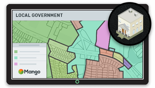
Deploying maps is as simple as point and click
Mango makes it easy for local governments to create, maintain and share fully featured interactive web maps without the need for coding skills, expensive servers or proprietary software licenses. All you need is your data and a web browser!
Cut out the middleman and manager your own maps.
Many local governments use third party consultants to create and maintain their web maps, this can create delays, bottlenecks and communication overheads. Mango is so simple to use that everything can be managed in house.
Mobile ready - view maps on mobile, tablet and all browsers.
Over 50% of internet traffic is now mobile, if your online GIS maps don't deliver a seamless mobile experience then they have lost more than half of their potential value. Mango is fully optimized for all modern browsers and mobile devices.
Seamless integration with existing systems.
We enable you to quickly and easily create two-way links between Mango and external systems. This enables you to easily integrate your land records map with your land record and deed management system.
Give your users the tools they need.
The Mango toolbox has a wide range of map tools that can be added to your local government map. You can choose from a range of search, query, print and visualization tools to deliver a powerful and effective workflow to your users.