General Plan Designations
This General Plan Designations interactive map represents land development boundaries and policies that are applicable to (site) specific properties within Plumas County. The broad purpose of the Plumas County General Plan is to express policies which will guide decisions on future growth, development, and conservation of resources as well as their cumulative impact on future environmental conditions in a manner consistent with the goals and quality of life desired by the County's residents.
Per Title 7, Division 1 of the Government Code of the State of California, Article 5, Section 65300 et seq, the County of Plumas is required to adopt a comprehensive general plan to guide its future physical development. Under State law many actions on private land development, such as specific plans, area plans, zoning, subdivisions, and other decisions must be consistent with the general plan.
Since the GIS data was developed for planning purposes and use in publication of maps and/or database creation, the data is for illustrative purpose only and is not suitable for parcel specific decision making.
Therefore, the GIS data presented in this interactive map are approximations and further land development determination is at the discretion of Plumas County planning staff which may require a parcel specific site review (to draw parcel specific conclusions).
For more information, please visit Plumas County Planning Services
General Plan Designations
General Plan Designations represents land development boundaries and policies that are applicable to (site) specific properties within Plumas County.
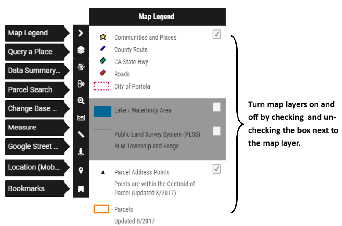
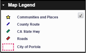
Communities and Places
Parcel Address Points
Updated 7/2025. Points are generally within the Centroid of Parcel
CA State Hwy
County Route
Roads
PLSS Township
Public Land Survey System (BLM) Township
PLSS Sections
Public Land Survey System (BLM) Sections
City of Portola
Planning Area Boundaries
Parcels
Updated 7/2025. Boundaries represent general location only and should not be used as the exact legal boundary location. Do not use for survey purposes.
General Plan Designations
For more information about Plumas County’s General Plan, click here. .
Center your desired location under the cross hairs and click the launch streetview button.
Measure distances
Measure areas
Selection Table

