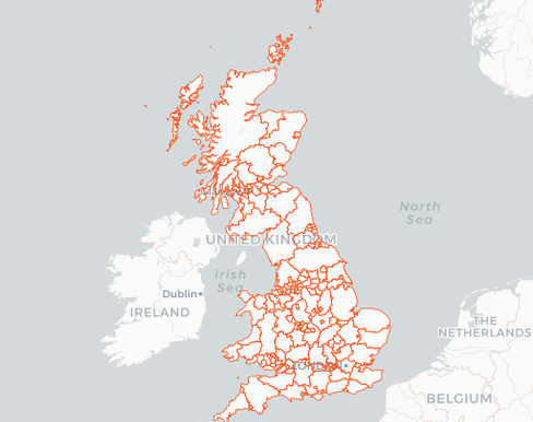
Administrative Boundaries - UK
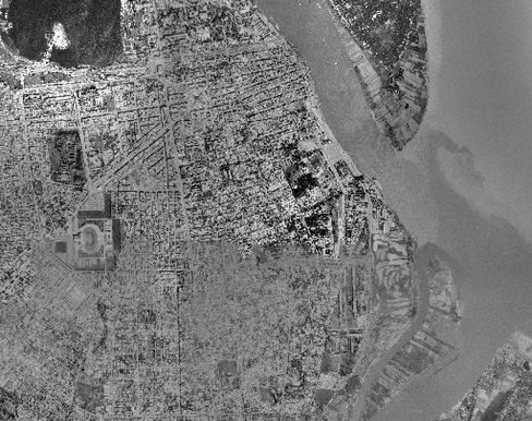
Aerial Photos of Phnom Penh
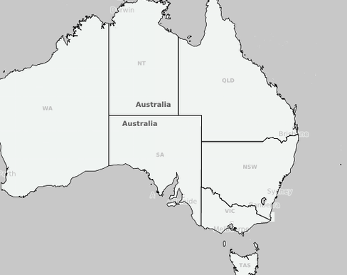
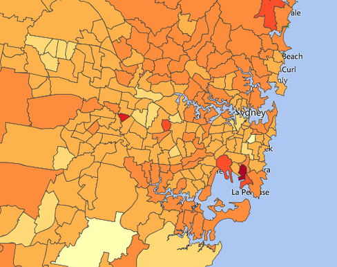
Australia Administrative Boundaries - for download
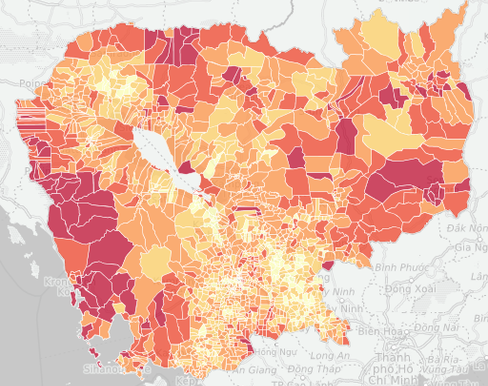
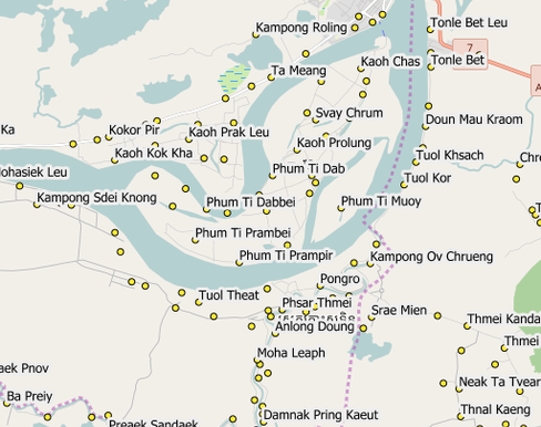
Cambodia Census 2008

Düsseldorf
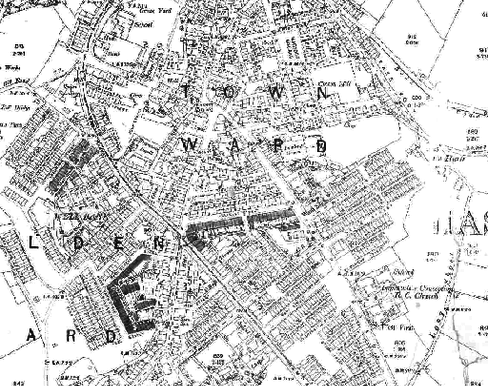
Haslingdon Lancashire - Then and Now
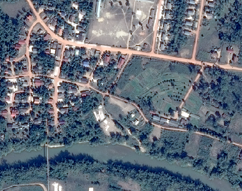
Image Comparison - 1.5m vs. 0.5m

Khmer Speakers in Toronto
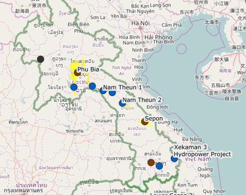
Major Project Locations
Map Test WMS
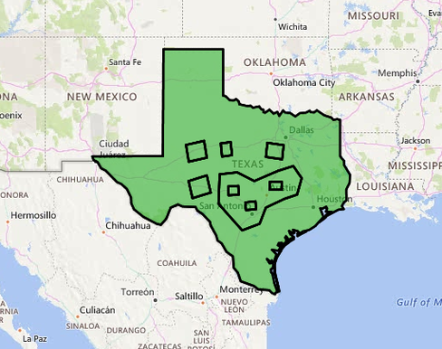
Proximity Tool Test
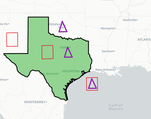
Query Tool - Multi-criteria
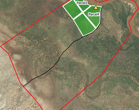
Sample Farm Map - Mulanjo Kenya
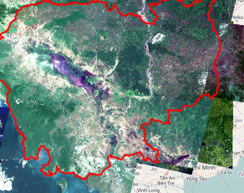
Satellite Imagery Cambodia 1975 and 2014
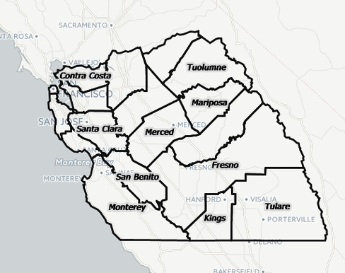
Test Map - California Agriculture
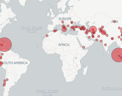
Test Map - Major Earthquake Locations
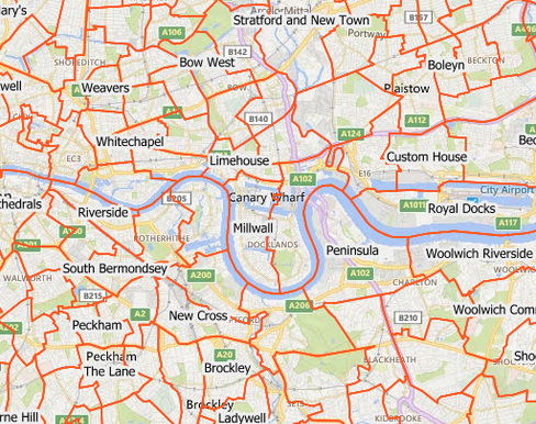
UK Ward Data