


Welcome to Plumas County's Map Portal!
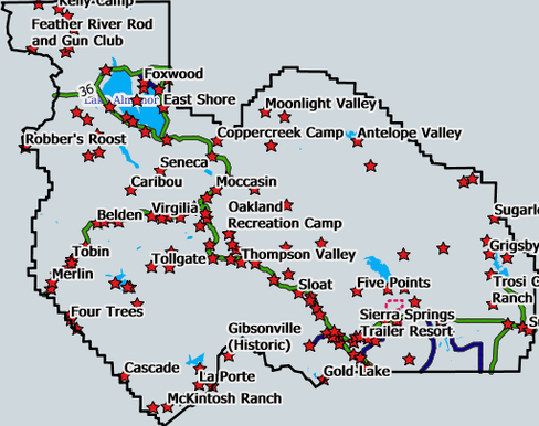
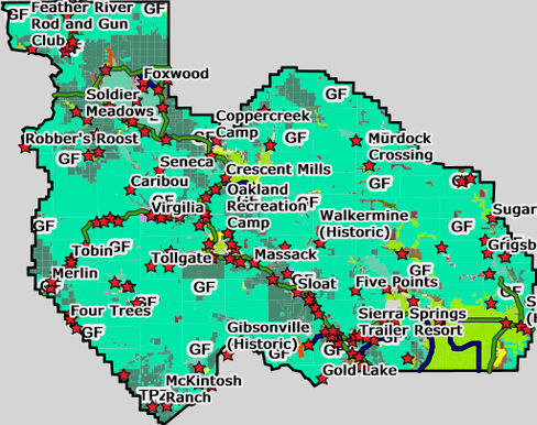
The Plumas County GIS Map Portal provides free and convenient online access to digital mapping for all of Plumas County. A variety of mapping information is available including streets, parcels, zoning, and satellite imagery.
To get started, please select an interactive map below to explore.
(For FEMA flood mapping information, please visit FEMA or view FEMA's interactive map here.)
NOTE: These interactive maps are best viewed with the following compatible browsers:
Google Chrome, Mozilla Firefox, Apple Safari, and Microsoft Internet Explorer (Version 10 and above).
We welcome your feedback including any questions, comments or corrections you may have.